


A Stroll Around the Pierce Elevated

My immediate neighborhood has been changing lately. I live in a liminal space between two neighborhoods, Downtown and Midtown. At least I feel like it is in between. I generally think of downtown as being the area where the three main freeways in Houston meet up—I-45, I-10, and I-69. These freeways trap the central business district in kind of rectangle of concrete and cars. The freeways form a moat around downtown. Inside the rectangle are the skyscrapers of downtown, and outside the suburbs start. But I live in a tall building right outside this rectangle of downtown freeways. If we say downtown is where all the skyscrapers are, then I’m in downtown. If downtown starts at I-45, then I am just outside of downtown. I-45 is just below my balcony. (This means I live with a constant wave of white noise from the freeway.)
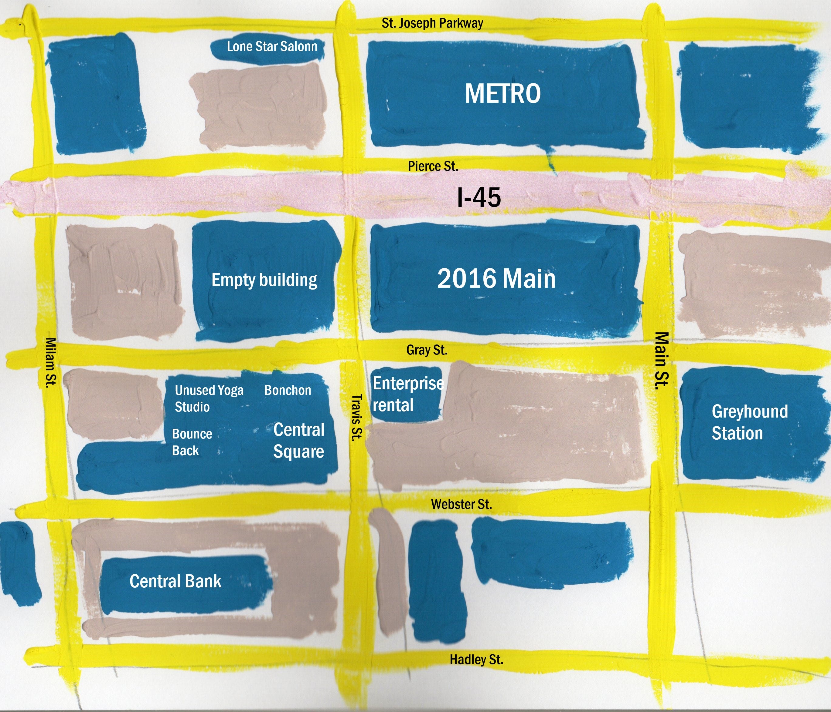
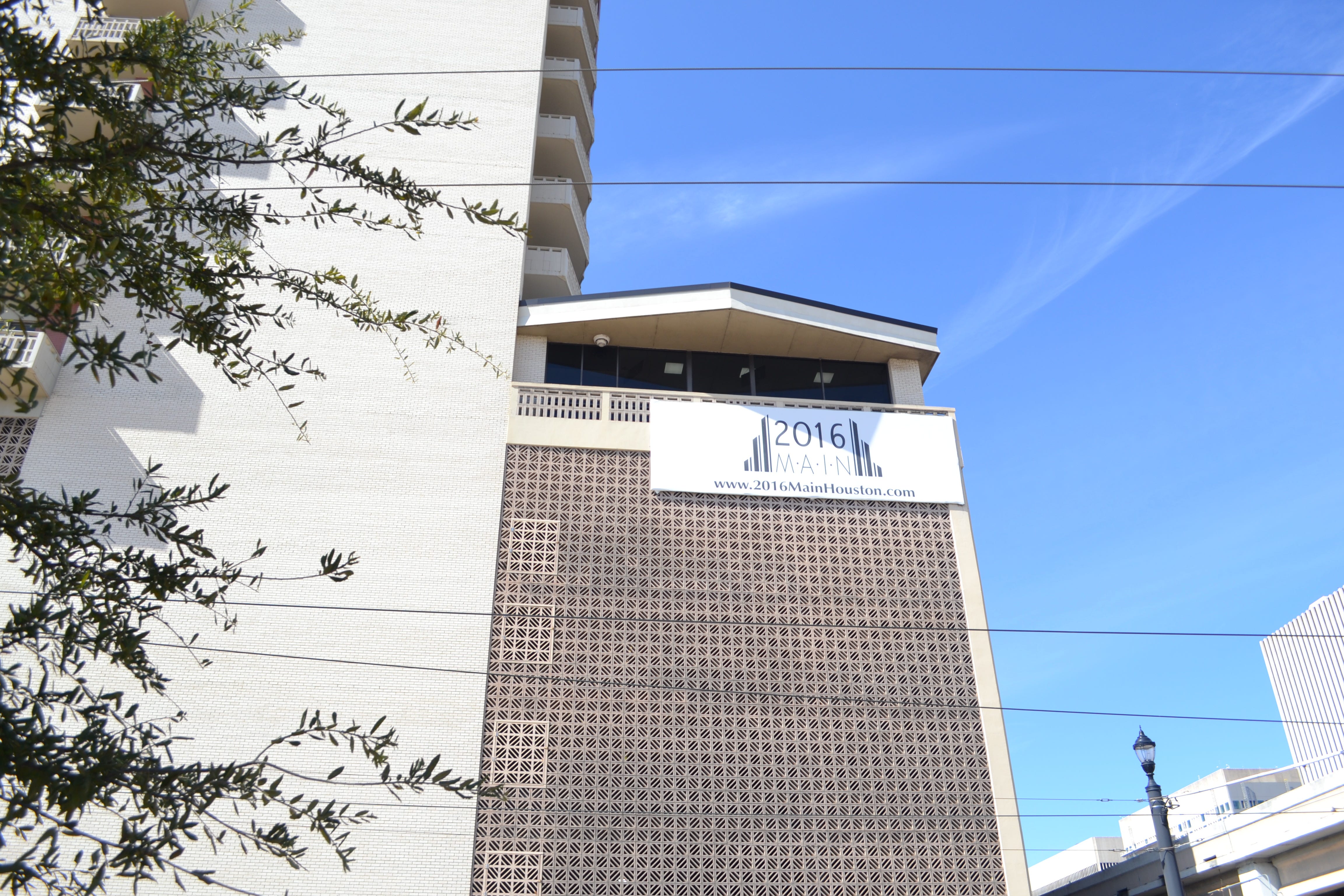
On the map above, the central building, 2016 Main, is my apartment building. 2016 Main St. is one of the oldest residential highrises in Houston, built in 1965. The stretch of I-45 that runs adjacent to the building was built around the same time.
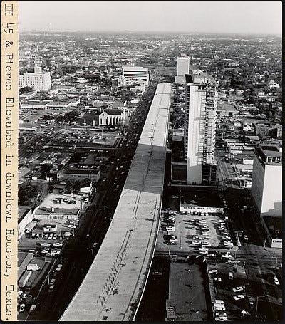
This section of I-45 is known as the Pierce Elevated. It is adjacent to Pierce St. downtown.
Despite the address of my building being on Main St., the entrance to the building is on Gray St. When I walk out that front door, I see a parking lot across the street.
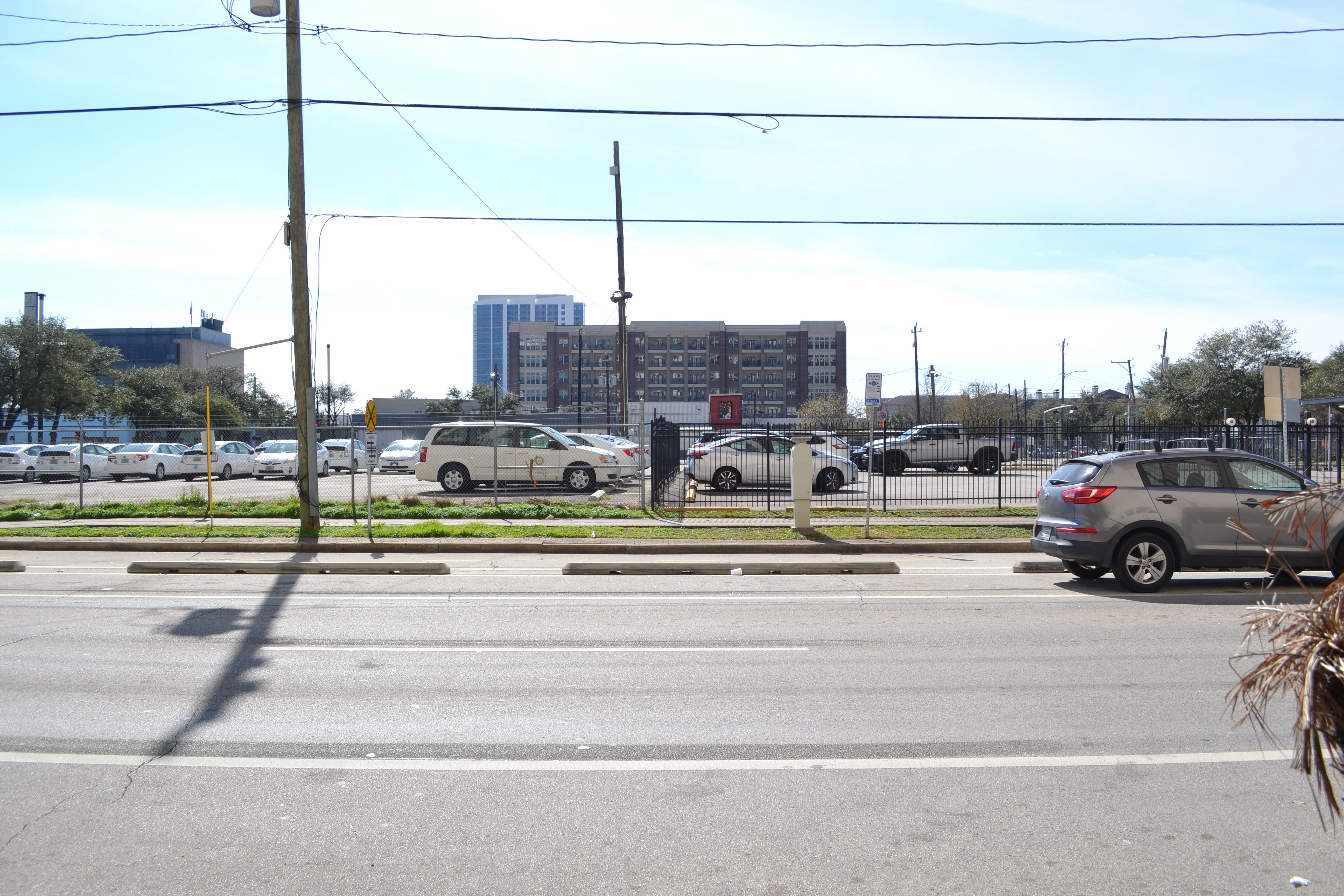
Gorgeous, no? This is the parking lot for Enterprise rent-a-car.


From here, I’m going to walk towards Main St. The Greyhound station is at the corner of Gray and Main. I’ve taken Greyhound buses before, but not from this station. And I guess I never will—Greyhound is closing their downtown bus station.
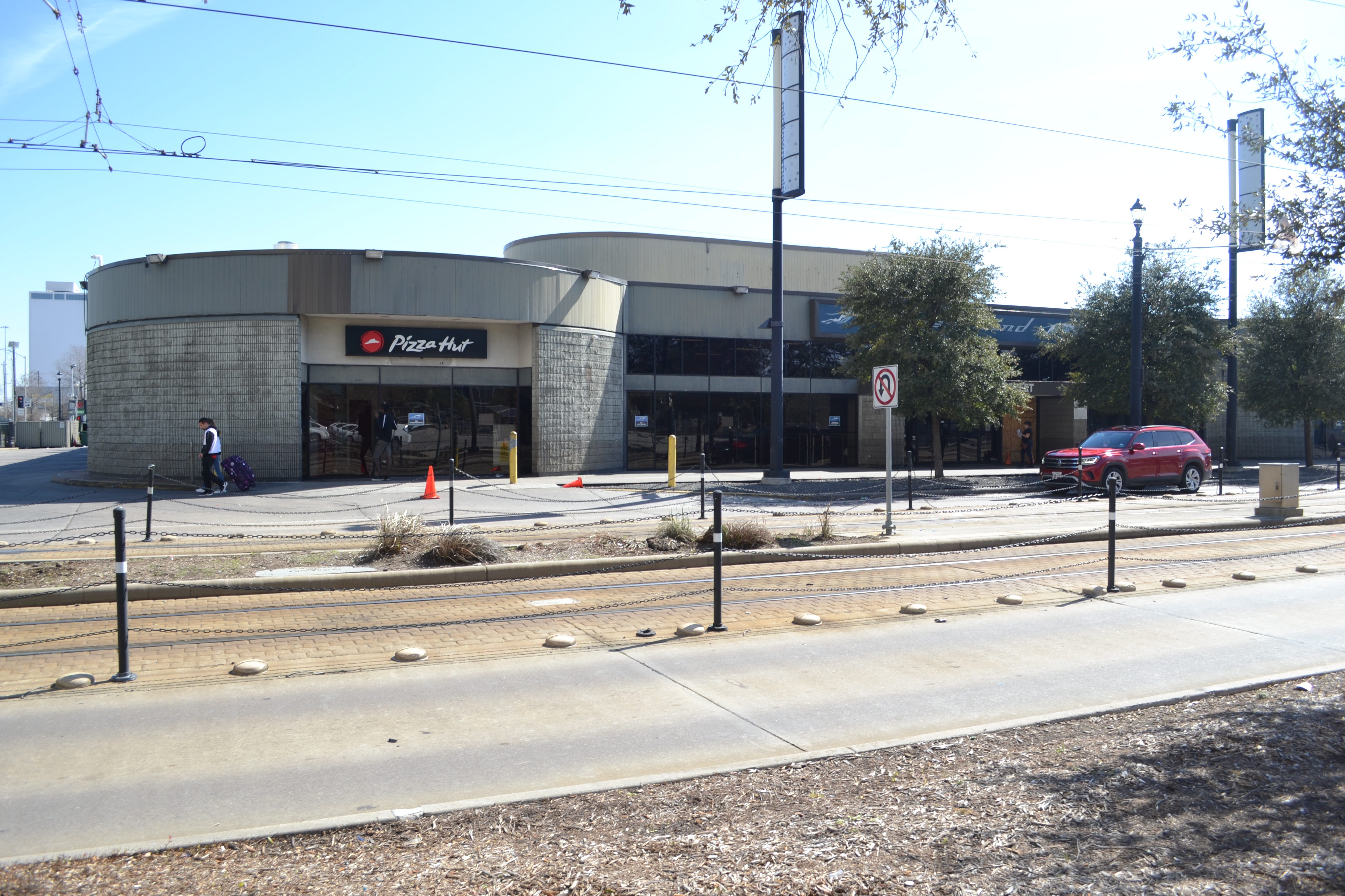
This bus station has a bad reputation. At any time of day, it is surrounded by homeless people. According to random NextDoor racists, the Greyhound station was where prisoners who have completed their sentences in Huntsville are put on buses to Houston. I have no way of confirming this, and even if it were true, so what? But it fits in with my observation that white suburban Houstonians are deathly afraid of buses and the people unforunete enough to take them. That said, the Greyhound station is a not a welcoming place.
Across Gray from the Greyhound station was a McDonald’s. It was torn down this month.
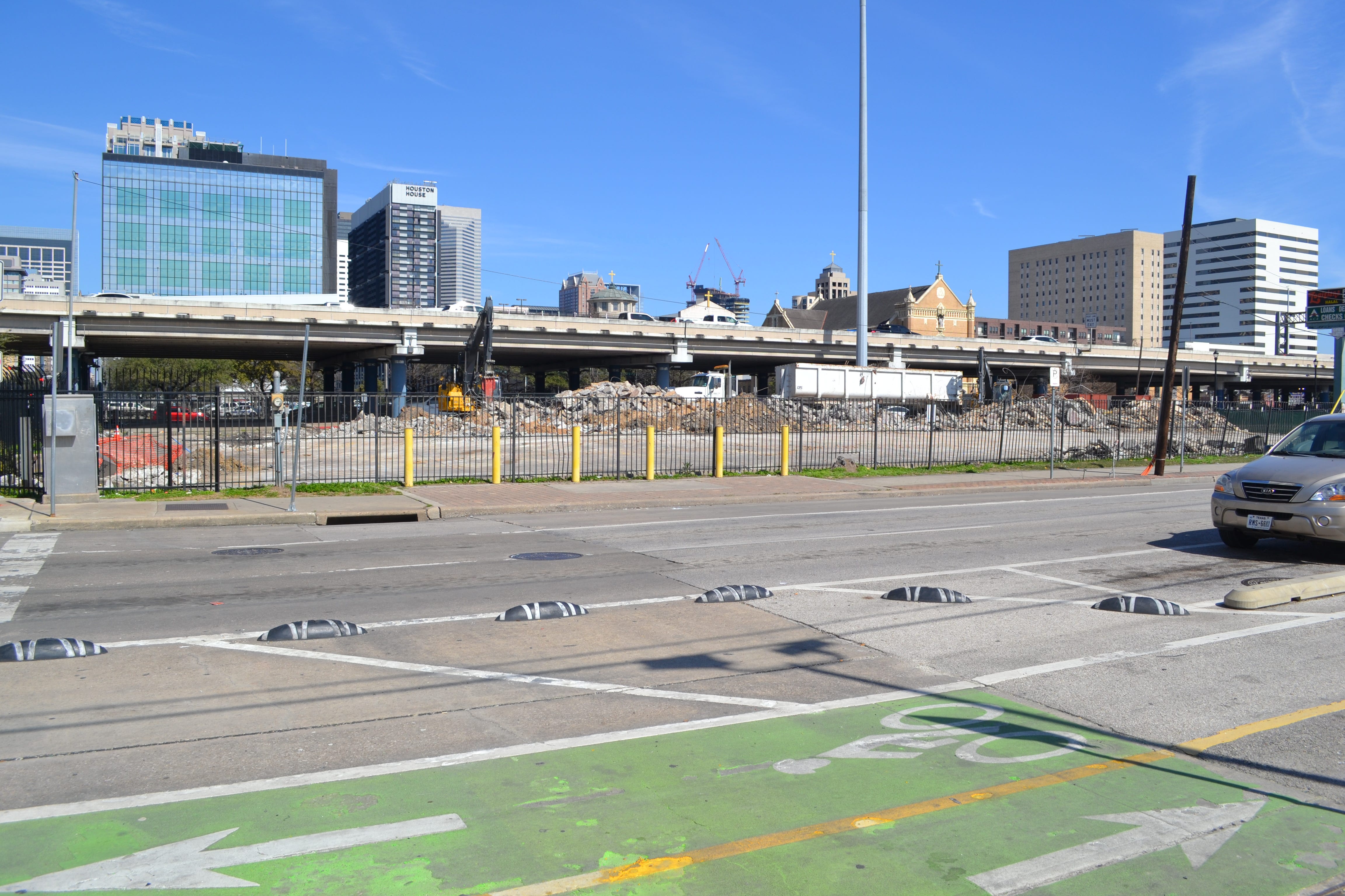
Even though it was right across the street from my apartment, I never ate at that McDonald’s—not because it had a bad reputation, but because I don’t eat at McDonald’s in general. But it was a sketchy place. In 2021, I was standing on my balcony and heard what to my untutored ears sounded like a machine gun going off. (Of course, my knowledge of machine gun sounds comes 100% from movies and TV.) I was alarmed and looked around on the streets below to see if there were people fleeing from the apparent gunfire, but saw no one. I posted about the noise on Facebook, and someone told me that someone had been shot dead at the McDonald’s. The occasional presence of murderous scooter punks is a good reason not to patronize a particular fast food joint.
The franchisee was quoted in a Houston Chronicle article that business had fallen off and it was basically too sketchy to continue.
Sarem Soudagar, a franchisee who previously operated that McDonald’s location, said the restaurant had seen a dip in foot traffic post-COVID. His father, Rafiq Soudagar, also mentioned high levels of unhoused people present on the property generated additional challenges for the business. The two do not own the land itself, the son said, and the future of the site would be determined by McDonald’s.
I did interact with this McDonald’s from a distance, though. My building has a gym on the 6th floor, and when I would run on the treadmill, I was looking down at the McDonald’s. To occupy my mind, I would count cars as they went through the drive through.
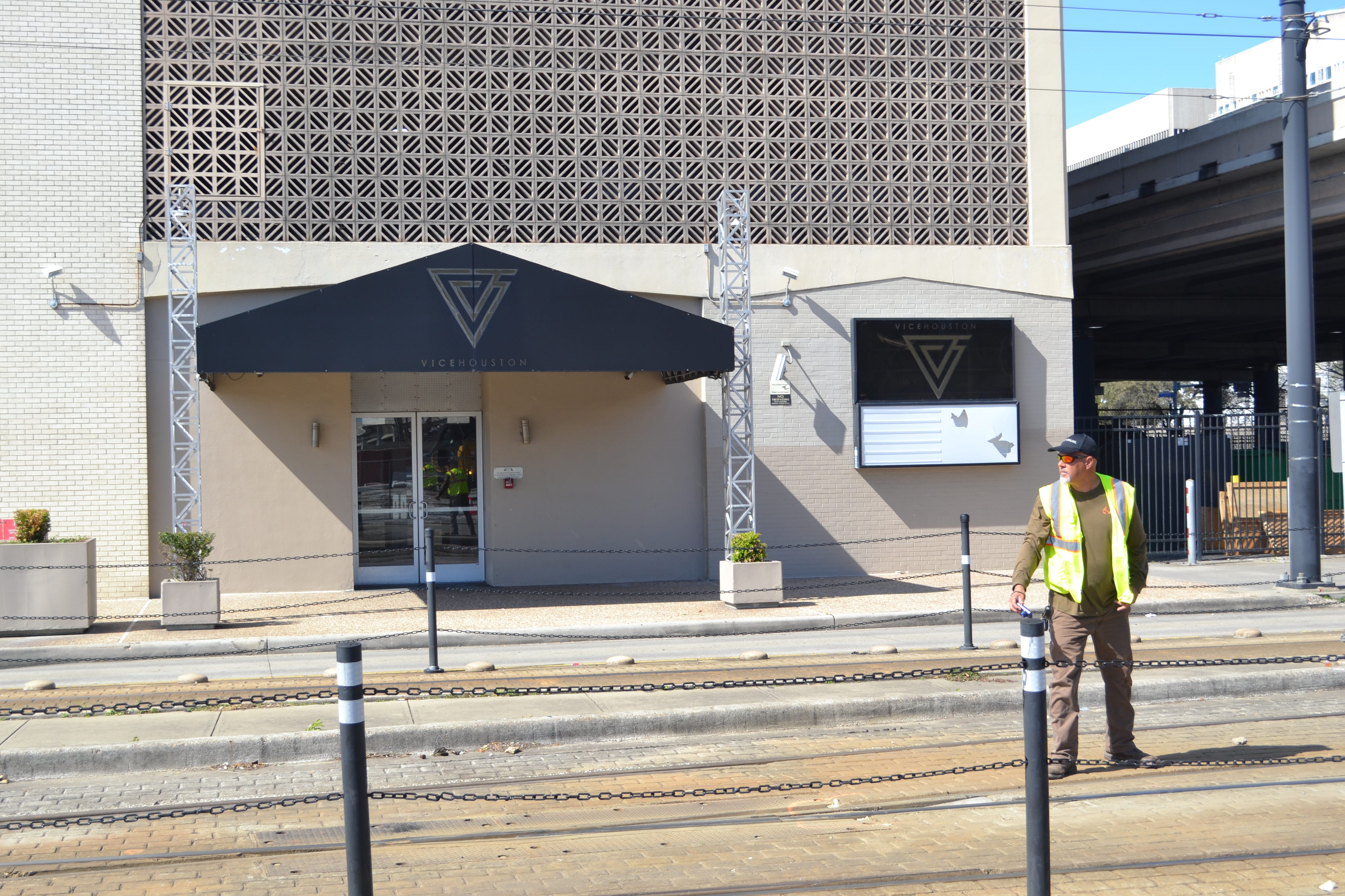
Just below the gym is the remains of a defunct nightclub called Vao and later Vice. I vaguely remember a news report abotu Justin Beiber and his posse coming here after a concert, but it has been closed since I moved in.
Walking roughly north on Main (I say “roughly” because the streets downtown, while on a grid, are angled slightly from strict north and south), one crosses under I-45. The freeway creates a large covered corridor downtown. Most of this space is used for parking, but homeless people camp out on the sidewalk along Main St.


Whenever I hear news reports on how well Houston is doing reducing homelessness, I think about this stretch of human misery less than a block from where I live that persists despite those efforts.
On the north side of I-45 on Main is a Metro Rail Station that I use frequently. It is in front of the office building that houses Metro, who run all the buses and trains in Houston. (Interestingly, Metro seems to be about to enter the bike rental business. I approve.)


Walking west from the intersection of Main and Pierce one block, we get to this mostly empty lot. This was where the Megabus used to leave and arrive in Houston.

For some reason, Megabus moved its station west to the Metro Transit Hillcroft Park & Ride lot located at 6220 Southwest Frwy in October of last year. All the long-distance bus services are leaving downtown, it seems. I’ve ridden Megabus a few times because it was incredibly cheap—excellent for a quick trip to Austin, San Antonio, or Dallas.
If one walks south on Travis, back under the freeway, one finds a deserted building.

I suspect that it was at one time an automobile repair location, but I’m not sure. It has been empty as long as I have lived here. It is always covered with peeling posters. Homeless people sometimes camp out in the covered corner on the left side of the photo above.
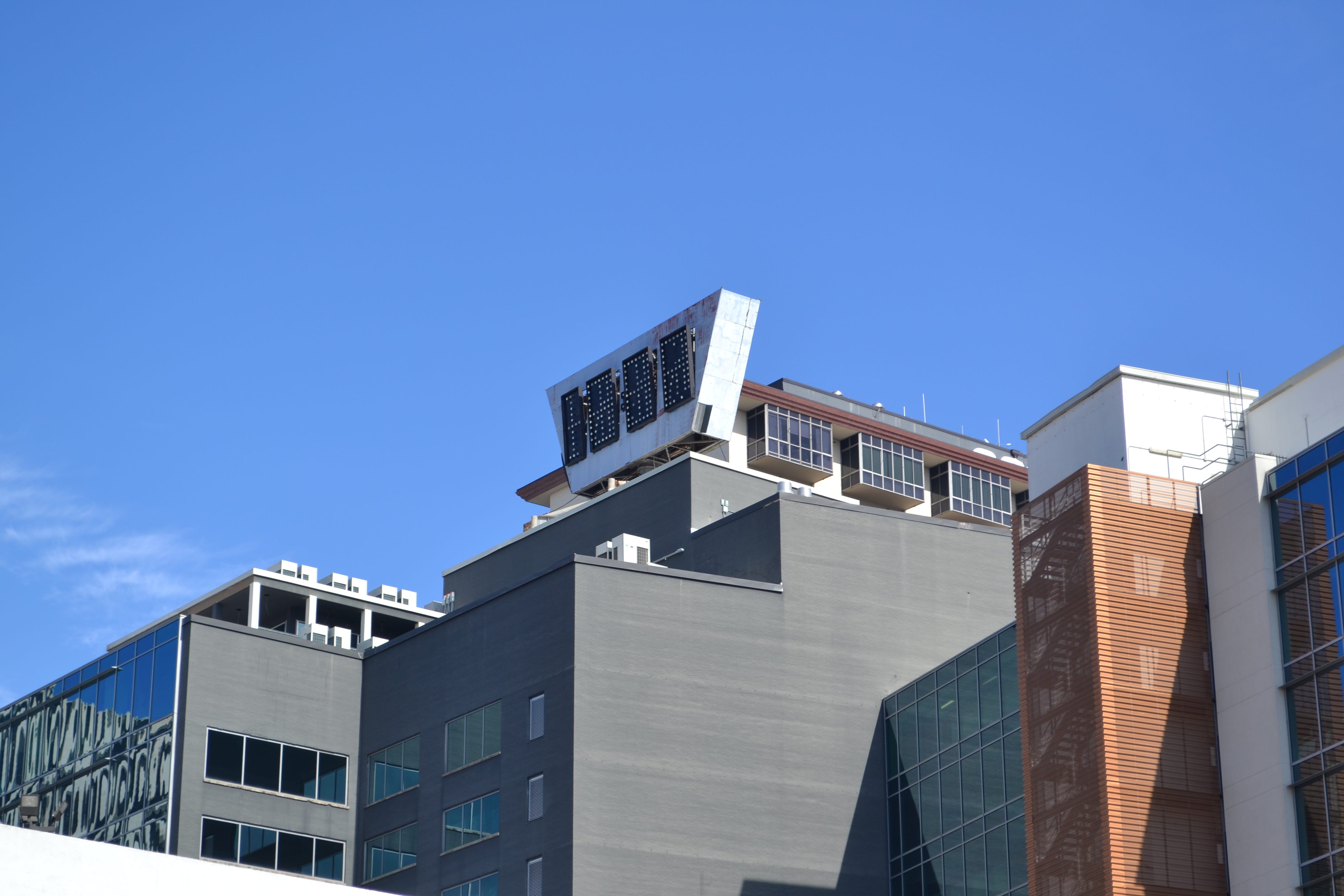
Across Gray St. from this mysterious building is Central Square, built shortly before 2016 Main was built. This was a modern office building for its time, but eventually became abandoned. The rumor was that the roof had collapsed in part of the building and that it was full of pigeon shit. I have no idea if this is true, but I do remember that one exterior wall was covered with brightly colored paint blobs, presumably launched against the building in paint-filled water balloons. The shell of this building had become a canvas for adventurous street artists. But around 2014, a developer rehabbed the building. It feels very new and sleek when you see it now. But they retained the old “Central Square” sign in place.
Now this building has several businesses on the ground floor open to consumers and offices above the first floor. I was happy when a restaurant, Bonchon, opened there. They specialize in Korean fried chicken, but I’ve only eaten there a couple of times. The food is pretty good, but my problem with it is that the portions are way too big. It seems like the kind of place you go with a group and share dishes.

Then right next to Bonchon is a yoga studio. It was the location of YogaWorks, a nice yoga studio that I used to go to. I would go at six in the morning to get a flow class done before work. But when COVID hit, they shut down. A shame, since they had done a made a serious effort to create a nice place to work out. The studio is still there.


If I knew more about the yoga trade, this might be a good business to get into. It’s a lovely studio. But Midtown has a Black Swan yoga studio a few blocks away—the competition might be a hard hurdle.
A new business, right next door to the old Yogaworks, is Bounce Back. They sell vintage sneakers and streetwear. It’s weird for me to walk into a business like this—all the stuff they call “vintage” seems brand new to me. The idea that tennis shoes would be vintage collectibles is hard for me to wrap my mind around. Because I’m old.


I love the Al Green skateboard, but I wonder what “Al Green” means to the 20-something clientele of Bounce Back.
Central Square is so untypical of Houston. Houston rarely rehabs old stuff. Things get torn down and replaced by newer, shittier buildings (or parking lots).


Across Webster from Central Square is a low-slung abandoned bank building called Central Bank. This entire lot is for sale.
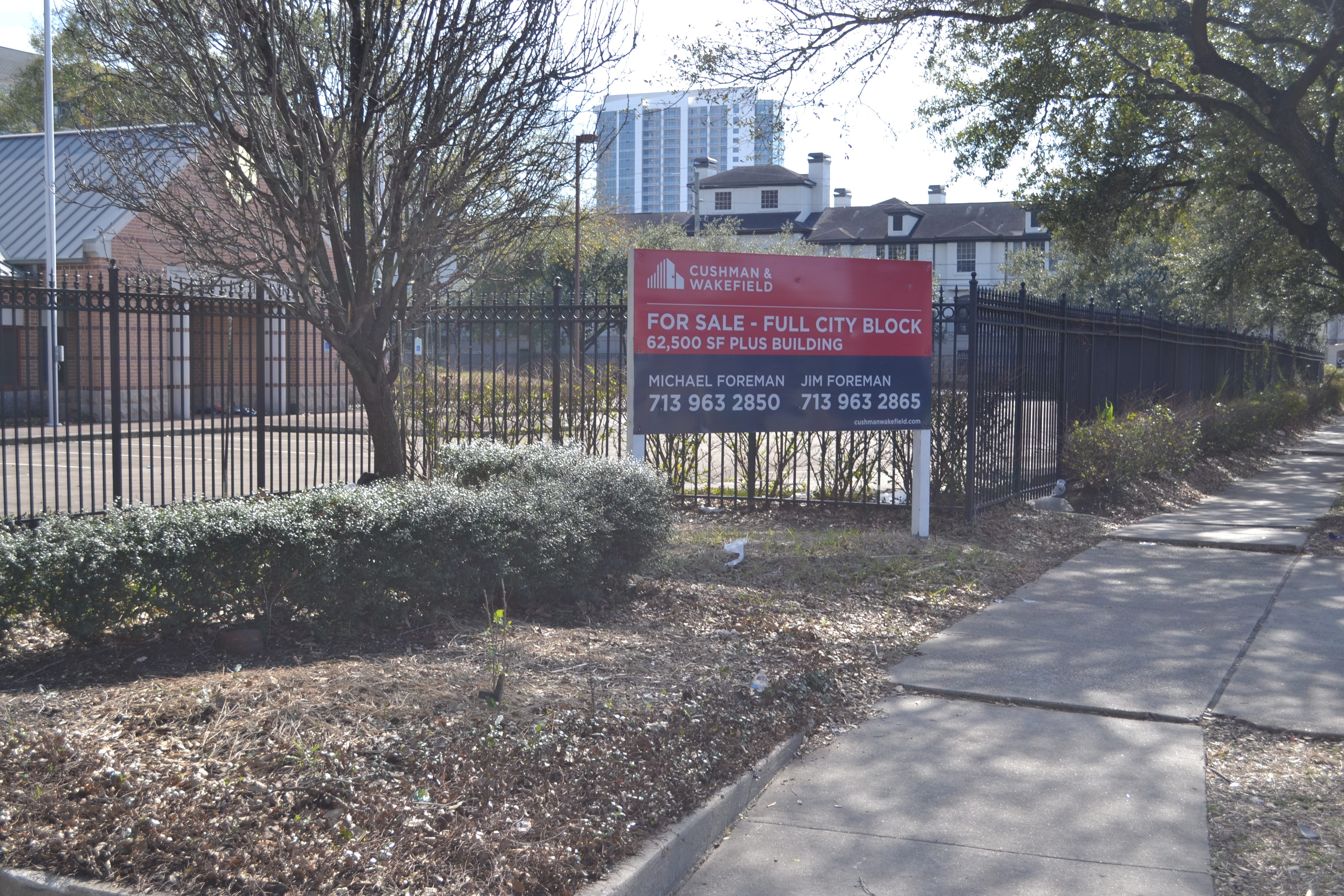
If you look at the map I’ve drawn, a large portion of it is either for sale, for lease, or unoccupied. It looks like the property owners here are waiting for some major change in the area. What future are they imagining? What is going to turn these blocks into valuable real estate?
There is a plan to widen and reroute I-45. The plan would have the beneficial effect of rerouting 45 from the west side of downtown to the east side, reintegrating downtown with the street grid (on the west side). The Pierce Elevated, under this scheme, might be converted into a linear park, not unlike the High Line in New York City. If this happens, all the land around my building will become more valuable.
Part of me finds the prospect of a Pierce Elevated park preposterous, but people who own or lease property around here seem to disagree. If Swamplot was still being published, they might have some insight. The real estate owners around here seem to know things I don’t about the future of the neighborhood.
[Please consider supporting this publication by subscribing to it, by becoming a patron, and/or by patronizing our online store. And one more way to support this work is to buy books through The Great God Pan is Dead’s bookstore.]